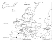
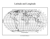
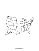
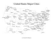
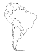
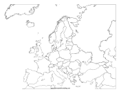
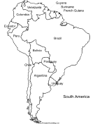
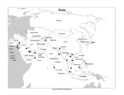
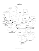
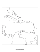
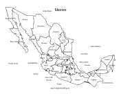
More than 912 free printable maps that you can download and print for free. Or, download entire map collections for just $9.00.
Choose from maps of continents, countries, regions (e.g. Central America and the Middle East), and maps of all fifty of the United States, plus the District of Columbia. There are labeled maps, with countries and capital cities shown; fill-in-the-blank maps, where we've got the outlines and you add the names; and blank maps, where you've got borders and boundaries and it's up to you to flesh out the details.
Free Printable Maps are great for teachers to use in their classes. Students can use them for mapping activities and self study. Taking a trip? Grab a map and a pencil and start making plans.